Sky School: What Locals Know About Reading Coastal Weather at Sunset Cliffs
Most visitors to Sunset Cliffs arrive hoping for the best. They check the temperature, maybe glance at a weather app, and head out. Local photographers do something completely different. They read the sky like a map—tracking marine layer behavior, watching wind direction, and factoring in the season before they ever grab a camera bag.
The good news? You don't need a meteorology degree to do the same. A few foundational concepts go a long way toward turning a guessing game into a genuinely informed visit.
The Marine Layer Is Not Your Enemy
San Diego's famous June Gloom gets a bad reputation, but the marine layer is one of the most misunderstood tools in a coastal photographer's kit. This low-lying fog rolls in off the Pacific—typically overnight and into the morning—and burns off as the day heats up. During late spring and early summer, that burn-off can be dramatic and wildly photogenic.
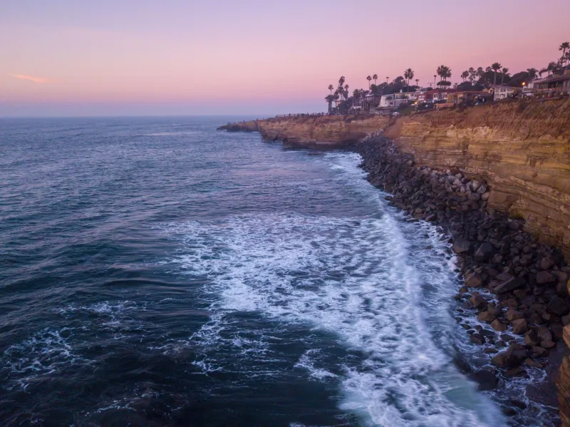
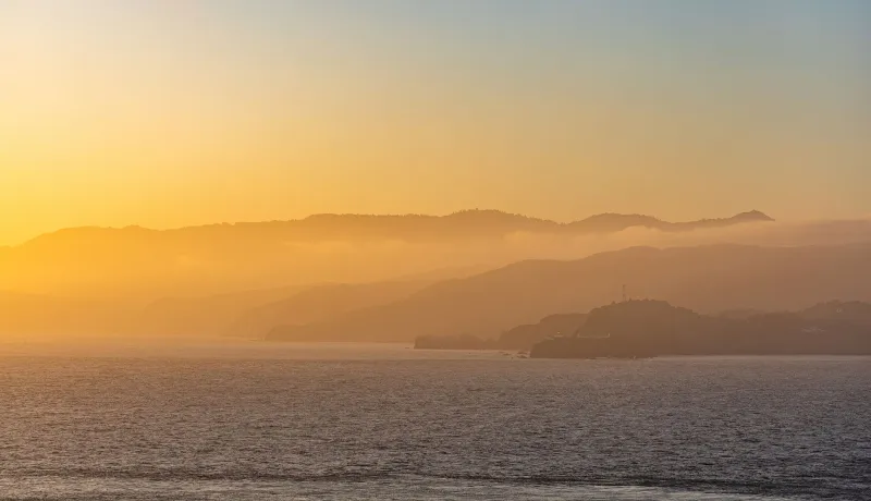
The key is timing. On a classic marine layer morning, the fog sits thick over the water until roughly 10 or 11 a.m. Then, if conditions are right, it begins to retreat. By late afternoon, the remnants often hang on the horizon just long enough to catch the setting sun in a way that clear-sky days simply can't replicate. The light scatters through the moisture and turns everything amber, pink, and occasionally a deep electric orange.
Locals call this a "cloudy sunset" but what they really mean is a filtered one—and those are the shots that blow up online.
Practical tip: If you check a forecast and see morning clouds with afternoon clearing, don't cancel your evening plans. That's one of the best setups you'll encounter all year.
Understanding the "Clearing Window"
One of the most useful patterns to know is what San Diego weather watchers informally call the clearing window. On days with marine layer, there's often a brief stretch in the late afternoon—sometimes as short as 45 minutes—when the sky opens up just before sunset. The horizon clears, the light drops low, and everything at Sunset Cliffs goes golden.
To catch this window, plan to arrive at least an hour before sunset. Don't wait until the last minute. The clearing can happen fast, and the light quality during those first few minutes of open sky is some of the most intense you'll ever see on the Southern California coast.
Apps like Windy, Ventusky, or even the National Weather Service's hourly forecast for Point Loma can help you track cloud movement with more precision than a basic weather app. Locals often check wind direction at the coast—an onshore breeze in the afternoon is a good sign that marine layer is pushing back out to sea.
Seasonal Patterns Worth Knowing
Sunset Cliffs behaves differently depending on the time of year, and adjusting your expectations by season makes a real difference.
Spring (March–May): Marine layer is building toward its peak. Mornings are frequently overcast, but afternoons often clear beautifully. Wind picks up from the northwest, which keeps the air clean and the horizon sharp when the clouds do break. Great for dramatic, moody shots.
Summer (June–August): Peak marine layer season. June and July can feel frustrating if you're chasing clear skies, but the filtered light is extraordinary. Sunsets during this period are often softer and more saturated than any other time of year. August starts to transition as the layer weakens.
Fall (September–November): This is the secret season. The marine layer retreats, Santa Ana wind events can push offshore, and the air gets that rare crystalline clarity. Sunsets in October and November are frequently spectacular—sharp, vivid, and with no atmospheric haze to soften them. Many local photographers consider this their favorite time of year at the cliffs.
Winter (December–February): Storms move through, and while rain days aren't ideal for most visitors, the clearing after a Pacific storm is genuinely worth chasing. Post-storm skies at Sunset Cliffs can feature dramatic cloud formations, deep color contrasts, and waves that are considerably more powerful than summer conditions. Just be extra careful near the water—wave heights and surge are unpredictable after weather systems pass through.
Wind Direction as a Forecasting Tool
Wind is one of the most underused indicators for planning a coastal visit. Here's the basic rule of thumb: an offshore wind (coming from the east or northeast, often associated with Santa Ana conditions) generally means clear skies, warm temperatures, and exceptional visibility. An onshore wind (from the west or northwest) brings moisture and is more likely to push marine layer toward shore.
During Santa Ana events, which typically happen in fall and winter, the air is bone dry and the visibility can be extraordinary. These are also the days when the Pacific looks almost unnaturally blue. If you see a Santa Ana wind advisory in the forecast, it's worth rearranging your schedule to get out to the cliffs.
The 20-Minute Rule
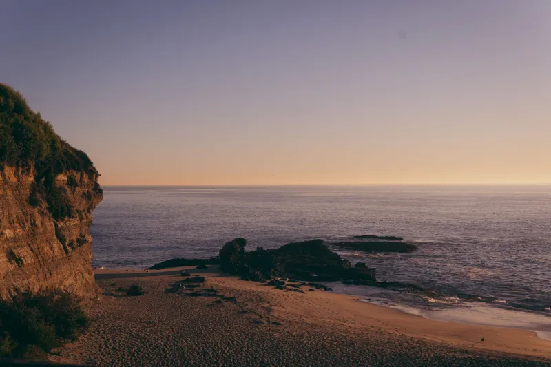
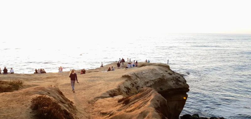
Finally, here's the piece of advice that separates locals from day-trippers: don't leave right at sunset. The sky at Sunset Cliffs frequently does its most interesting work in the 15 to 20 minutes after the sun drops below the horizon. The colors deepen, the silhouettes of people on the rocks get dramatic, and the water takes on a dark, reflective quality that midday light simply can't produce.
Bring a light jacket—it cools off fast once the sun goes down—and stay a little longer than you think you need to. More often than not, you'll be glad you did.
Reading the sky is a skill, but it's not a complicated one. Pay attention to the patterns, check more than one forecast source, and give yourself enough time to catch whatever the atmosphere decides to do. That's how locals do it, and it works.